首页 > Home > About Yangjiang > Geographical Location
Geographical location
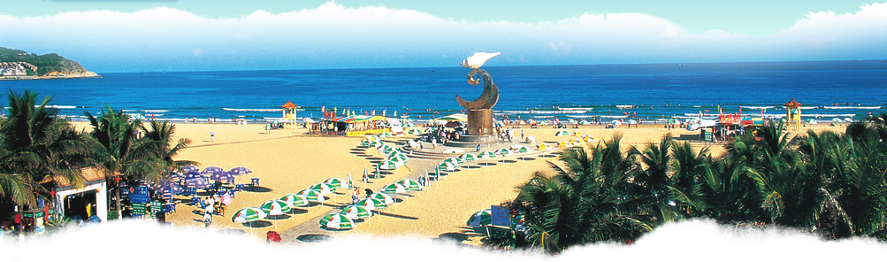
Yangjiang City is located in the southwest of Guangdong Province and next to the Pearl River Delta area, which gets an important location in the west area of Guangdong Province and is located at latitude from 21°28’45” to 22°41’02” north and longitude from 111°16’35” to 112°21’51” east. It is 112.5 kilometers from east to west and 132.75 kilometers from north to south, 247 kilometers far away from Guangdong Province and 230 kilometers far away from Zhanjiang City,160 kilometers far away from Zhuhai City by landway. It is 143 nautical miles far away from Hong Kong and 129 nautical miles far away from Macau by waterway. Yangjiang City covers an area of 7,955.3 square kilometers and within it 26.03% is hills, 42.73% is mountains and 22.17% is plain. The length of the coastline is 458.6 kilometers and the number of the main islands is 40. The physiognomy of Yangjiang is inclining from north to south and Yangjiang is situated near the mountains and beside sea. At the northeast of Yangjiang, there is Tianlu Mountain and there is Yuwu Mountain at the northwest of Yangjiang. The highest mountain in Yangjiang is E’Feng Zhang of Wangfu cordillera and its altitude is 1337 meters. The longest river in Yangjiang is Moyang River and its length is 199 kilometers. Moyang River runs through the urban area of Yangjiang and flows into South China Sea from north to south